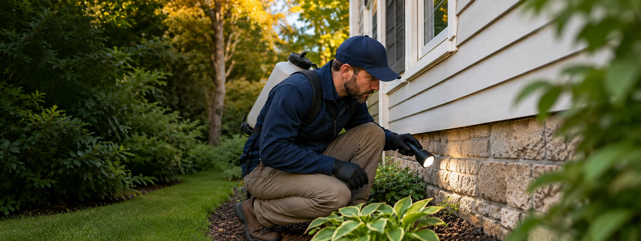
Nationwide pest intelligence & provider directory
Know your pest risk. Find the right pest control provider.
Weather-driven pest risk updated every three hours
with local providers across six states.
- pest models
- 7
- providers
- 4,204
- states
- 6 IA · FL · IN · IL · WI · MO
Weather-driven insights
Pest risk modeled from local weather conditions
7 pest models
Ants, mosquitoes, ticks, spiders, rodents, termites, and stinging insects
4,204 providers
Find local pest control providers across six states
Six-state coverage
Iowa, Florida, Indiana, Illinois, Wisconsin, Missouri
Browse by State
Explore pest risk, seasonal trends, and local providers in your state.






About these forecasts
Today shows the latest stored local pest scores, last updated 2026-11-16 00:04:31 UTC. Forecasts are weather-based indicators, not pest counts. Tomorrow uses the stored daily weather outlook; 3 Days and 7 Days show the highest modeled score in each window, including today. Future estimates use forecast temperature, precipitation, and wind, with humidity and soil conditions held at the latest observation. Missing or outdated inputs show as unavailable.
Read the methodologyCurrent Top Pest Risks
Live risk highlights from our tracked forecast locations, based on the latest modeled weather conditions.
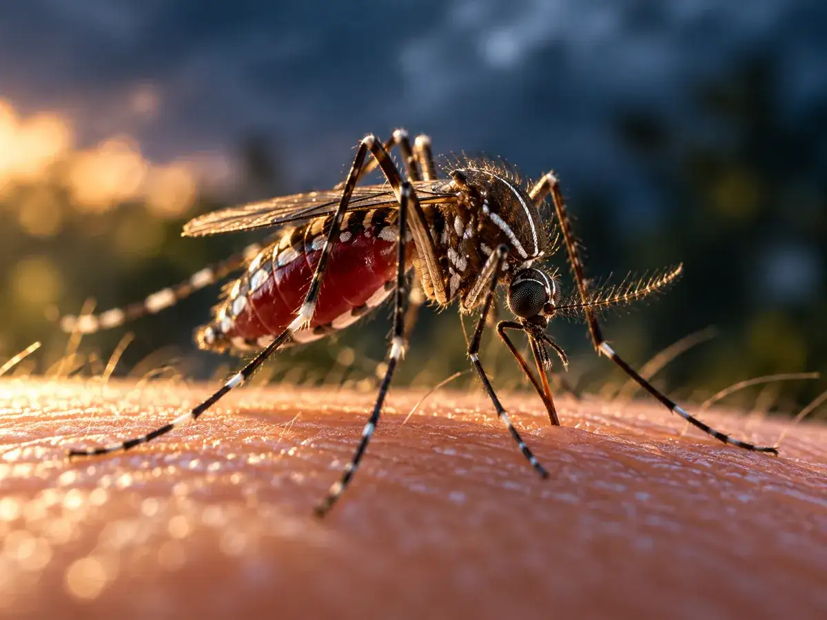 Andytown, FL
Mosquitoes
Mosquito conditions are being driven by the latest local weather model.
 Miami Springs, FL
Ticks
Tick conditions are being driven by the latest local weather model.
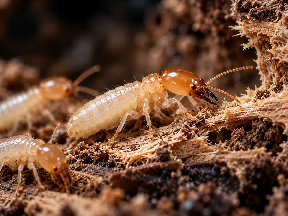 Coral Springs, FL
Termites
Termite conditions are being driven by the latest local weather model.
 Palmetto Bay, FL
Ants
Ant conditions are being driven by the latest local weather model.
 Lakeside, FL
Spiders
Spider conditions are being driven by the latest local weather model.
 Merrillville, IN
Mice & Rats
Mouse conditions are being driven by the latest local weather model.
How PestControlForecast Works
Check local conditions, identify the pest, and compare providers.

Weather-Driven Forecasting
We analyze live weather conditions and pest-specific models to predict activity in your area.
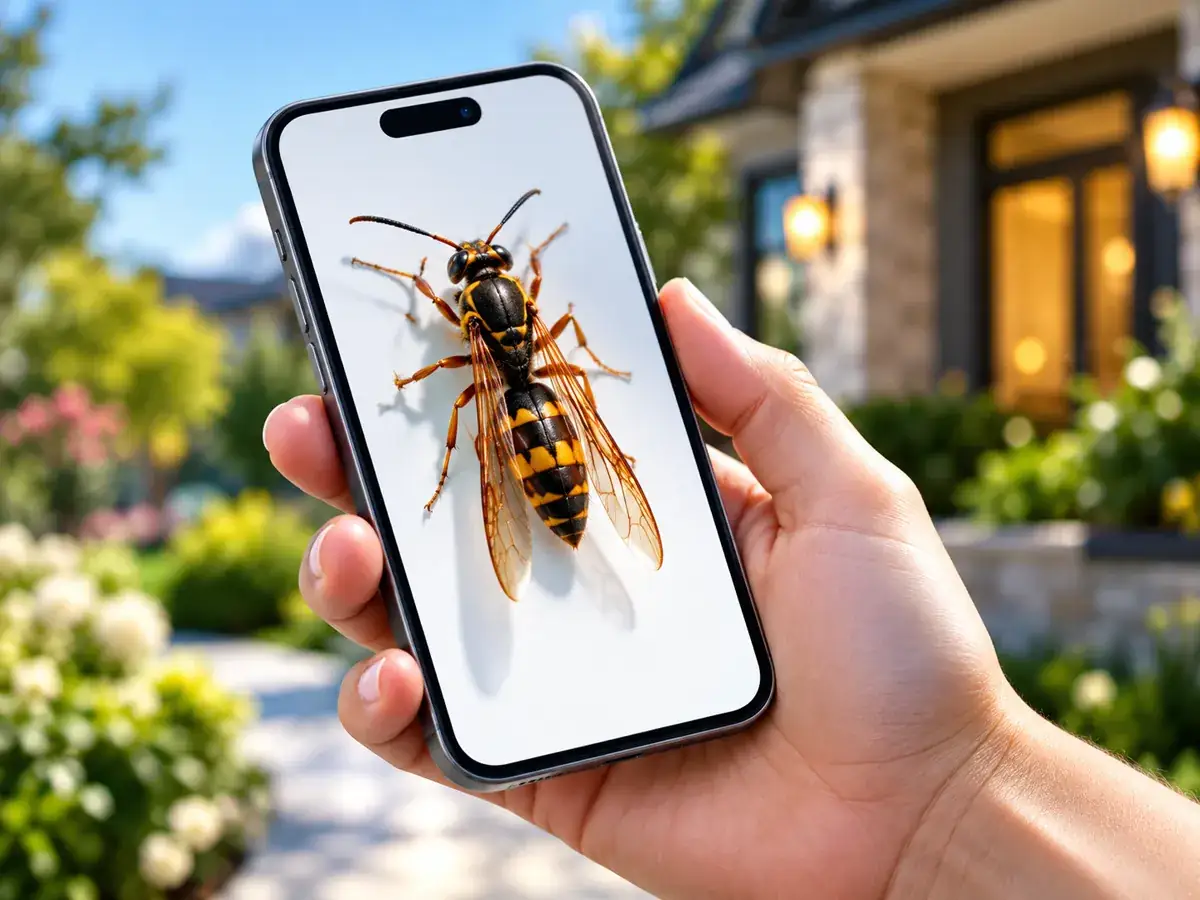
Identify Any Pest
Describe what you are seeing and get an identification path, pest information, and next steps.
Find Local Providers
Compare pest control companies and move from forecast insight to local help.
PestControlForecast turns live weather into a pest pressure score from 0 to 100 for seven pests — ticks, mosquitoes, ants, wasps, spiders, mice and rats, and termites. Each pest is scored by its own weather-driven model, so risk levels differ from pest to pest on the same day, and every score is recalculated every 3 hours. That is the difference from a weather app, which reports conditions but not pest risk, and from a seasonal calendar, which cannot react to this week's rain or heat. When a score says it is time to act, the provider directory lists the pest control companies behind the help: individual, contactable local businesses you can compare by specialty.
Find Local Pest Control Providers
Explore company profiles, service areas, and contact options.

PIP Pest Control
Featured PartnerMukwonago, WI
A & M Exterminating Inc
Listed ProviderChicago, IL
Fowler Pest Control Inc
Listed ProviderFowler, IN
Why use the directory?
- Local company profiles
- Pest specialty filtering
- Current weather context
- Real customer reviews where available
- Direct quote and contact paths
 Local companies
Service details in one place
Popular Cities & Local Forecasts
Check pest activity and current risk in featured forecast locations.
Get Ahead of Pest Problems
Check your local risk, explore forecasts, or compare pest control providers.